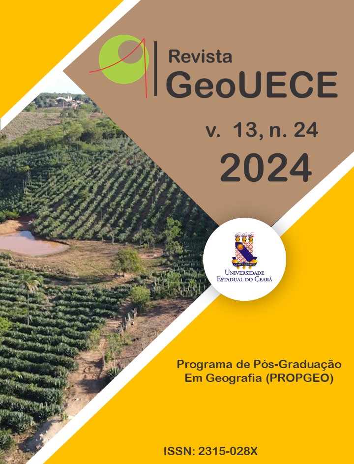
Caracterização de Áreas Queimadas Usando Sensoriamento Remoto no Refúgio Pedra da Andorinha, Sobral/CE
DOI:
https://doi.org/10.59040/GEOUECE.2317-028X.v13.n24.e202407Palavras-chave:
Caatinga, Focos de calor, Incêndios florestais, Semiárido, Unidades de conservaçãoResumo
Os Refúgios de Vida Silvestre, projetados para preservar a sobrevivência de diversas espécies de flora e fauna, enfrentam uma ameaça crescente devido aos incêndios florestais no Brasil. Essa intensificação coloca em risco a integridade dos ambientes que buscam proteger a biodiversidade. Com foco no Refúgio de Vida Silvestre da Pedra da Andorinha, em Sobral/CE, nosso objetivo foi usar dados de sensoriamento remoto VIIRS (2012-2023) e imagens Landsat e Sentinel-2 (2015, 2016, 2020 e 2023) para identificar e delimitar áreas afetadas por incêndios. Índices como NBR e dNBR foram aplicados para avaliar a severidade da cobertura e do uso da terra com base nos dados do MapBiomas. Sessenta e oito focos de calor foram registrados, sendo outubro de 2020 o mês com maior incidência. A cicatriz de 2020, com 860,47 ha queimados, afetando 89,63% da área total do refúgio, acumulou 1011,97 ha queimados, com pelo menos 290,25 ha afetados em três ocasiões. A formação de savana, que compreende 84,74% da paisagem, foi a cobertura natural mais afetada. Esses resultados destacam o envolvimento frequente do refúgio em incêndios florestais, ressaltando a necessidade de estratégias eficazes de prevenção e gerenciamento para garantir a conservação de longo prazo desses valiosos ambientes naturais.
Downloads
Métricas
Referências
ALVES, J. M. B.; Da SILVA, E. M.; De ARAÚJO, F. C.; SILVA, L. Um estudo de focos de calor no bioma Caatinga e suas relações com variáveis meteorológicas. Revista Brasileira de Meteorologia, v. 36, n. 3, p. 513–527, 2021. DOI: 10.1590/0102-77863630015. DOI: https://doi.org/10.1590/0102-77863630015
ARAÚJO, M.; De CLAUDINO-SALES, V. Análise temporal de dados de cobertura vegetal e ocorrência de incêndios na unidade de conservação refúgio da vida silvestre Pedra da Andorinha, Sobral-CE. Revista Territorium Terram, v. 5, n. 7, p. 133–151, 2022.
BARROS, Cristiane Saboia; LIMA, Ernane Cortez. Perspectivas de conservação pública: área de conservação ambiental municipal Pedra da Andorinha Taperuaba/Sobral – CE. Revista Agraria Academica, v. 2, n. 3, p. 33–46, 2019. DOI: https://doi.org/10.32406/v2n32019/33-46/agrariacad
BELLO, Júlia Pereira; VASQUES FREITAS, Ana Carolina; MARIA VIEIRA, Eliane. Análise do risco de fogo para o bioma Caatinga. Revista Brasileira de Climatologia, v. 32, p. 734–759, 2023. DOI: https://doi.org/10.55761/abclima.v32i19.16693
BONTEMPO, G. C.; LIMA, G. S; RIBEIRO, G.; DOULA, S. M.; SILVA, E.; JACOVINE, L. A. Registro de Ocorrência de Incêndio (ROI): evolução, desafios e recomendações. Biodiversidade Brasileira, v. 1, n. 2, p. 247–263, 2011. DOI: https://doi.org/10.37002/biodiversidadebrasileira.v1i2.108
DI BELLA, C. M.; POSSE, G.; BEGET, M. E.; FISCHER, M. A.; MARI, N.; VERON, S. La teledetección como herramienta para la prevención, seguimiento y evaluación de incendios e inundaciones. Ecosistemas, v. 17, n. 3, p. 39–52, 2008.
DIAS, M.; BEZERRA, E.; RIBEIRO, S.; CORTEZ, E.; FERNANDES, F. Uma proposta de classificação para a vegetação na Unidade de Conservação Refúgio de Vida Silvestre Pedra da Andorinha, Sobral, Ceará, Brasil. International Journal of Geobotanical Researchv. 10, n. 1, p. 127–152, 2021.
FONSECA, P. O. R. M.; LAMAS, I; KASECKER, T. O Papel das Unidades de Conservação. Scientific American, v. 39, p. 18–23, 2010.
KEELEY, J. E. Fire intensity, fire severity and burn severity: A brief review and suggested usage. International Journal of Wildland Fire, v. 18, n. 1, p. 116–126, 2009. DOI: https://doi.org/10.1071/WF07049
KEY, Carl H.; BENSON, Nathan C. Landscape Assessment (LA) sampling and analysis methods USDA Forest Service - General Technical Report. Disponível em: https://www.fs.usda.gov/research/treesearch/24066. Acesso: 10 de outubro de 2019.
MILEN, A. F.; CARACRISTI, I.; MONTENELES, W. Caracterização geoambiental da Unidade de Conservação Refúgio de Vida Silvestre Pedra da Andorinha. Revista de Geociências do Nordeste, v. 2, p. 1191–1200, 2016. DOI: https://doi.org/10.21680/2447-3359.2016v2n0ID10584
MORELLI, F.; SETZER, A.; CRISTINA, S. Focos de queimadas nas unidades de conservação e terras indígenas do pantanal, 2000-2008. Geografia, v. 34, p. 681–695, 2009.
MORSELLO, C. Áreas protegidas públicas e privadas – seleção e manejo. 2. Ed. São Paulo: Annablume, 2001.
PARKS, S. A.; DILLON, G. K.; MILLER, C. A new metric for quantifying burn severity: The Relativized Burn Ratio. Remote Sensing, v. 6, n. 3, p. 1827–1844, 2014. DOI: https://doi.org/10.3390/rs6031827
PEREIRA, C. A.; FIEDLER, N. C.; DE MEDEIROS, M. Análise de ações de prevenção e combate aos incêndios florestais em unidades de conservação do Cerrado. Floresta, v. 34, n. 2, p. 95–100, 2004. DOI: https://doi.org/10.5380/rf.v34i2.2378
RODRIGUES, W. F.; MAIA, R. P.; GOMES, D. D. Condicionamento morfoestrutural do Inselberg pedra da Andorinha, sertão norte do Ceará, Brasil. Revista Brasileira de Geomorfologia, v. 20, n. 4, p. 862–876, 2019. DOI: https://doi.org/10.20502/rbg.v20i4.1521
ROY, D. P.; BOSCHETTI, L.; TRIGG, S. N. Assessing the performance of the Normalized Burn Ratio. IEEE Geoscience and Remote Sensing Letters, v. 3, n. 1, p. 112–116, 2006. DOI: https://doi.org/10.1109/LGRS.2005.858485
SAYLER, Kristi. Landsat 8-9 Collection 2 (C2) Level 2 Science Product (L2SP) Guide U.S. Geological Survey. Disponível em: https://d9-wret.s3.us-west-2.amazonaws.com/assets/palladium/production/s3fs-public/media/files/LSDS-1619_Landsat8-9-Collection2-Level2-Science-Product-Guide-v5.pdf. Acesso: 19 de outubro de 2023.
SOUSA, M. A.; MENDES, D. C.; NASCIMENTO, A. N.; LIMA, E C. Caracterização geomorfológica da unidade de conservação refúgio de vida silvestre Pedra das Andorinhas, Taperuaba Sobral – CE. Revista Homem, Espaço e Tempo, v. 13, n. 1, p. 35–45, 2019.
SOUZA, C. M. et al. Reconstructing Three Decades of Land Use and Land Cover Changes in Brazilian Biomes with Landsat Archive and Earth Engine. Remote Sensing, v. 12, n. 17, p. 1–27, 2020. DOI: https://doi.org/10.3390/rs12172735
TEOBALDO, D.; BAPTISTA, G. M. Quantificação da severidade das queimadas e da perda de sequestro florestal de carbono em unidades de conservação do Distrito Federal. Revista Brasileira de Geografia, v. 9, n. 1, p. 250–264, 2015. DOI: https://doi.org/10.26848/rbgf.v9.1.p250-264
VUOLO, F; ZÓLTAK, M.; PIPITONE, C.; ZAPPA, L.; WENNG, H.; IMMITZER, M.; WEISS, M.; BARET, F. Clement. Data service platform for Sentinel-2 surface reflectance and value-added products: System use and examples. Remote Sensing, v. 8, n. 11, p. 1–16, 2016. DOI: https://doi.org/10.3390/rs8110938
Downloads
Publicado
Como Citar
Edição
Seção
Licença
Copyright (c) 2024 Mauricio Alejandro Perea Ardila, Sebastian Isaías Muñoz, Carlos Henrique Sopchaki

Este trabalho está licenciado sob uma licença Creative Commons Attribution-NonCommercial-NoDerivatives 4.0 International License.


